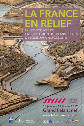
La France en relief
De Louis XIV à Napoléon III
From 18 January 2012 To 17 February 2012 Grand Palais, Nef

- Description
- Prices
Description
Relief maps - models of fortified tows – were produced for military purposes from the reign of Louis XIV to the end of 19th century.
Theses objects, of an incredible quality and size, shed light on a range of historical phenomena, including the development and setting of borders, siege warfare and fortifications, map-making, and the transformation of the town planning and the landscape
Useful information
Address
Nef du Grand Palais
Entrée principale
Avenue Winston-Churchill - 75008 Paris
Acces
Métro ligne 1, 9 et 13 - Champs-Élysées Clemenceau ou Franklin-Roosevelt
Open
Monday, Thursday, Saturday, Sunday from 10 a.m. to 8 p.m.
Wenesday, Friday from 10 a.m. to 10 p.m.
Closed Tuesday
Prices
5 €, concessions 2,50 €
Magazine
Magazine
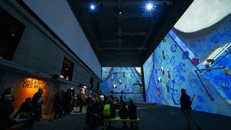
An exhibition for all the family: "Loading, l'art urbain à l'ère numérique" at the Grand Palais Immersif
On the accessible and original theme of street art, through an immersive trail, with a rhythmic soundtrack and interactive activities: Loading is the exhibition you've been looking for to delight the whole family over the holidays! Follow the guide.


